File:Wetherbee meadow.png: Difference between revisions
Jump to navigation
Jump to search
Watlington (talk | contribs) No edit summary |
(No difference)
|
Latest revision as of 03:51, 23 March 2024
This is a map of the trees in the Wetherbee meadow (near the kiosk) in 2014
File history
Click on a date/time to view the file as it appeared at that time.
| Date/Time | Thumbnail | Dimensions | User | Comment | |
|---|---|---|---|---|---|
| current | 03:51, 23 March 2024 | 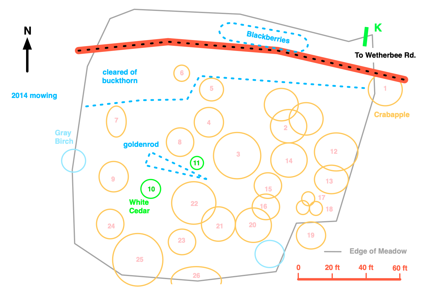 | 1,412 × 1,012 (213 KB) | Watlington (talk | contribs) |
You cannot overwrite this file.
File usage
The following page uses this file: