File:Mass Ave Entrance Map.png: Difference between revisions
Jump to navigation
Jump to search
Watlington (talk | contribs) No edit summary |
(No difference)
|
Latest revision as of 02:38, 18 February 2024
This is a map of the area around the Mass. Ave. entrance to Great Hill, showing notable features and areas of invasive control.
File history
Click on a date/time to view the file as it appeared at that time.
| Date/Time | Thumbnail | Dimensions | User | Comment | |
|---|---|---|---|---|---|
| current | 02:38, 18 February 2024 | 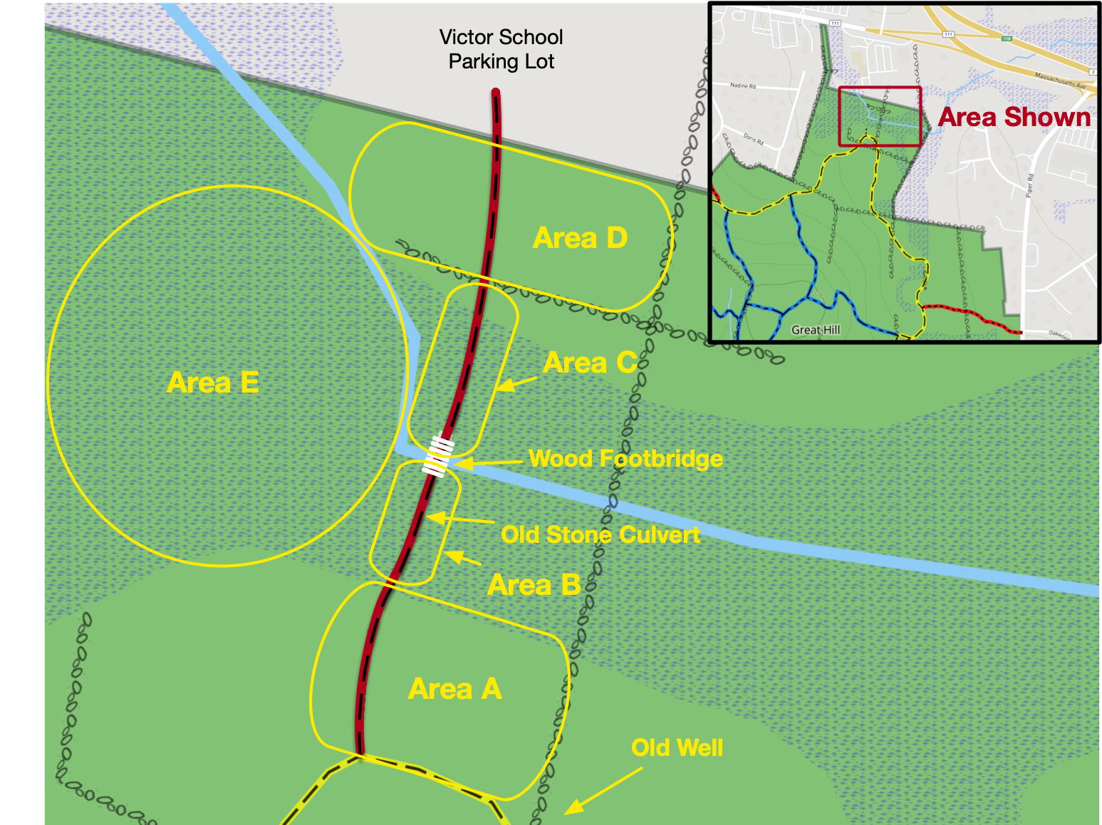 | 1,547 × 1,158 (1.64 MB) | Watlington (talk | contribs) |
You cannot overwrite this file.
File usage
The following page uses this file: